
Field types
Geolocation
Field type geolocation. What is stored is a reference to a location in the location library. Data entry
from the cataloguer’s side is described under Geolocation .
Parameters
| Key | Values | If omitted | Effect |
|---|---|---|---|
zoom | Number | 16 | Starting zoom of the map in the location picker |
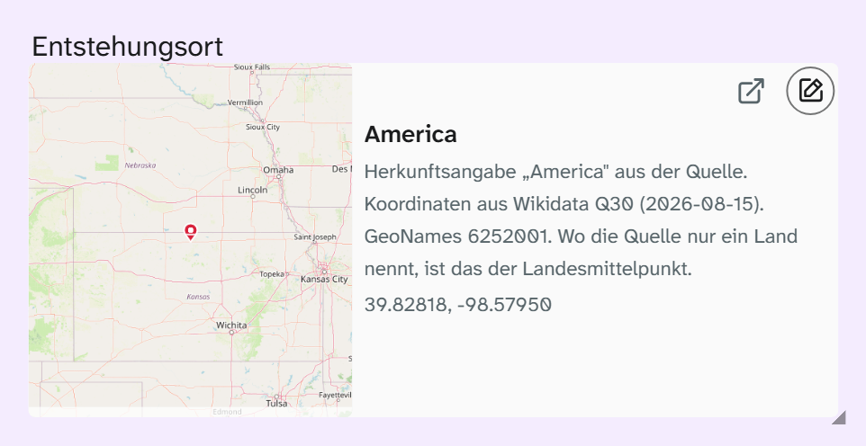
preview_zoom | 3, 6, 10, 13, 16 | 13 | Level of the map preview in the field: world, country, region, city, street |
coordinate_display | decimal, degrees, both | both | Which coordinate fields the form shows |
JSON{ "zoom": 16, "preview_zoom": 10, "coordinate_display": "decimal" }
The zoom levels are fixed, because an image file is kept for each level. A value in between moves to the
nearest level, 15 to 16 for example. preview_zoom applies only to the field in the object; views and
the Excel export choose their own level. For maps of find spots, region usually fits; for postal addresses,
street.
The preview has a fixed size.
Missing previews are filled in by “Check for missing image previews” in the file library; the run includes the location library.
Subfields
Available everywhere as Feldname~unterfeld: in filters, in the Excel export, in Word templates and in the
Word add-in:
~id, ~lat, ~lng, ~street, ~house_number, ~postal_code, ~city, ~district, ~country, ~state, ~region, ~note
The field without a subfield returns a concatenation of coordinates and postal address. If you need a place
name, bind ~city.
Formatting
The field type comes with Location on one line: street and number, postcode and town, country; without a postal address, the coordinates. Preselected in the gallery, table and kanban, raw in the export. See Formatting .
When another field type fits
| Need | Field type |
|---|---|
| Place name without coordinates as part of a vocabulary | Authority record |
| Postal address of an institution | Address |
| Position of an object on a wall or on a plan | Plan field of the wall planner |