
Field types
Geolocation
A place from the location library , with coordinates, postal address and a remark. For find spots, locations, places of production. The field shows a map preview.
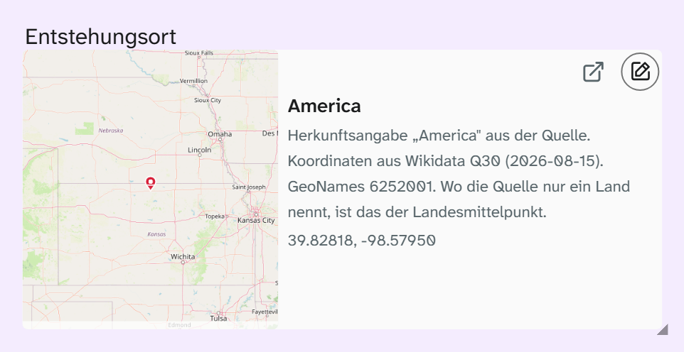
Input
A click opens the place picker. It offers three ways to a place:
| Way | When |
|---|---|
| Search | Via OpenStreetMap, from three characters. A hit you take over is created as an entry in the location library |
| Library | A place that has already been created |
| By hand | Enter coordinates and address yourself, for places without an address such as a find spot in the field or a shelf in the store |
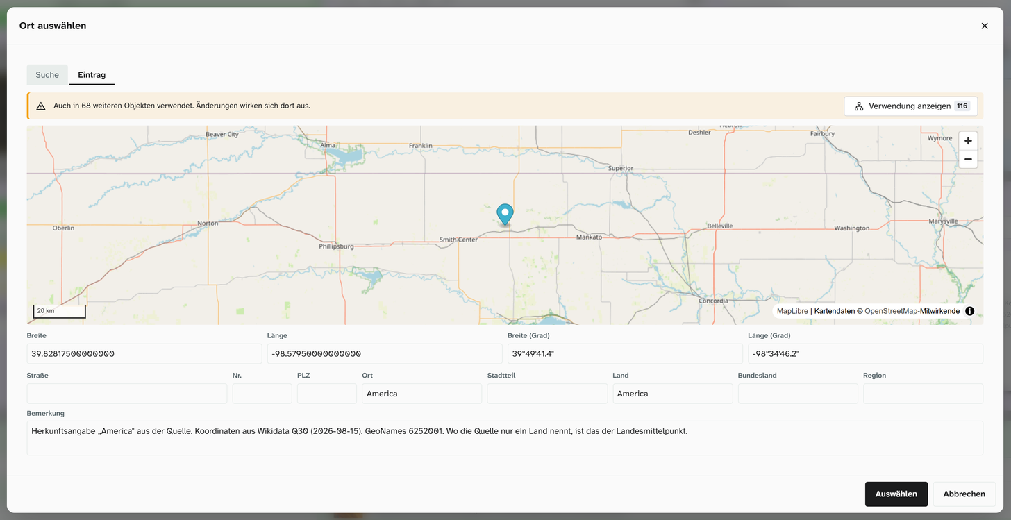
If a place with the same coordinates already exists, the picker assigns that one instead of creating a duplicate, and tells you so.
Coordinates are given in decimal degrees, in degrees, minutes and seconds, or in both forms, depending on the setup. The address consists of street and number, postcode, town, district, region, federal state and country, plus a remark such as Depot Süd, Regal 12 (south store, shelf 12).
What is stored
A reference to the place in the library. Coordinates, address and remark are attached to the entry and therefore apply on every object that uses it.
| Action | Behaviour |
|---|---|
| Full-text search, filter | Via the subfields, for example town or country |
| Sorting, grouping | Via a subfield, for example all objects per country |
| Bulk edit | Replace and clear the reference |
| Excel import | Not a direct target. See Resolve references |
There is no radius search. Moliri does not find “all objects within 20 km”. If you want to analyse spatially, export the coordinates and continue in a GIS.
Map preview
The server creates a map image from OpenStreetMap tiles based on the coordinates. That is why a geolocation field can be used like an image field: in the gallery, in kanban, in the calendar, in the Excel export and in Word reports.
The preview comes in five zoom levels: World, Country, Region, City and Street. You choose the level where you choose the field: on the image field in the view settings and in the Excel export in the same drop-down list as a subfield. The level in the object itself is set by the administration.
There is no map with several objects; the map preview always shows one place.
Display and export
| Formatting | Preset in | Result |
|---|---|---|
| Raw value | Export | Coordinates and address parts in a row |
| Location on one line | Gallery, table, kanban | Street and number, postcode and town, country. Without an address, the coordinates |
For templates see Template variables and Template functions for the map as an image.
Setup
Coordinate display and zoom levels are set by the administration. See Configuring geolocation .